


Technology
HAVE YOU SEEN?

The FCC and U.S. Congress are in the process of working out new rules to

The Explore tab in Instagram is opened by half of Instagram’s users each month to
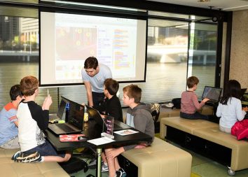
Most students in America are not likely learning how to code in elementary or middle

RECENTLY PUBLISHED

The FCC and U.S. Congress are in the process of working out new rules to get rid of robocalls forever. In the meantime, there are